The Dubai Ferry terminals are not hard to find as they are only a short walk from major landmarks, but to make it easier to visualise where they are we have created a couple of maps which have been taken from Google maps – unfortunately Google Maps do not specify the location of the ferry terminals so we can’t just embed the map but have had to take a screenshot of it.
If you want to access further features of the map then we have also posted the Google Maps link below the screenshot of the ferry terminal location maps.
The Dubai Marina terminal can be found about 500 yards after you turn left out of Dubai Marina Mall. Just walk around the corner and you should see it, together with the payment booth.
The map below is an approximate location of the Dubai Marina Ferry Terminal:

Here is the Google Maps application showing the Marina Mall:
The Al Ghubaiba Ferry Terminal is a one minute walk from the Al Ghubaiba Metro station – just head towards the creek when you exit the Metro and you will find it. It is quite near the departure points for the abras. The payment booth is also right near the ferry terminal and there are seating areas.
Below is an approximate location for the Al Ghubaiba Ferry Terminal:

Here is the Google Map application showing the location of Al Ghubaiba Metro station:
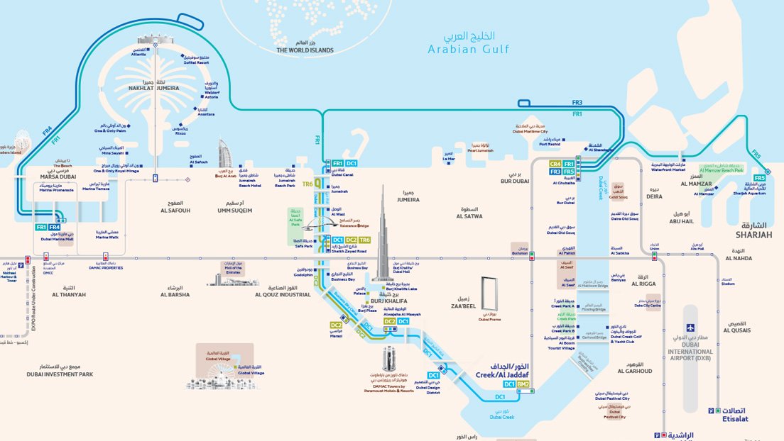
The Dubai have also created a map that now show all routes of the ferry including the new route between Dubai and Sharjah: